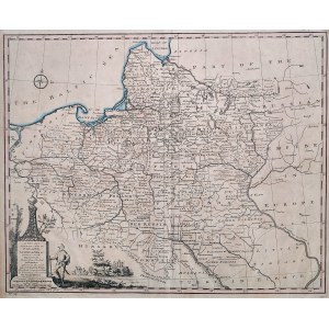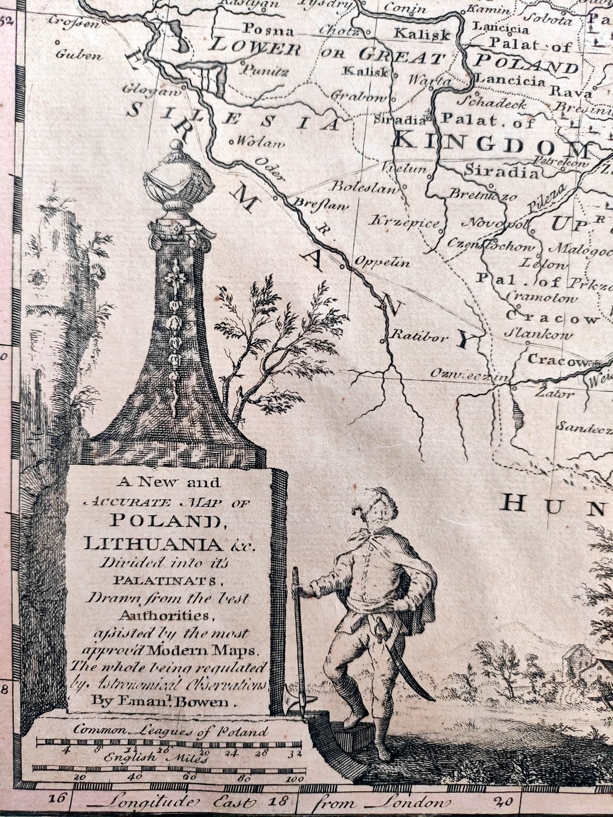
"A New and accurate map of Poland, Lithuania &c. divided into it's Palatinats (...)." London 1766
Copperplate , The map comes from the work "Universal History of the World", published through the efforts of William Innys in London 1766.
The author of the map is Emanuel Bowen (1714 -1767) British cartographer and astronomer, court mapmaker for King George II and Louis XV.
The map covers the area between the Dnieper River and the Oder River, the Carpathian Mountains and the Baltic Sea .
In the lower left corner, an ornate cartouche with a titular figure placed on the base of a monument against which the figure of a Polish nobleman is supported. In the upper part of the map a wind rose.
Handmade paper, small tears of the card edges. Overall condition very good. Map in passe- partout.
Format :34.5 x 42.8 cm (board : 40.5 x 45.5 cm).
A pleasant and detailed map of the Republic still from the period before its partition.