


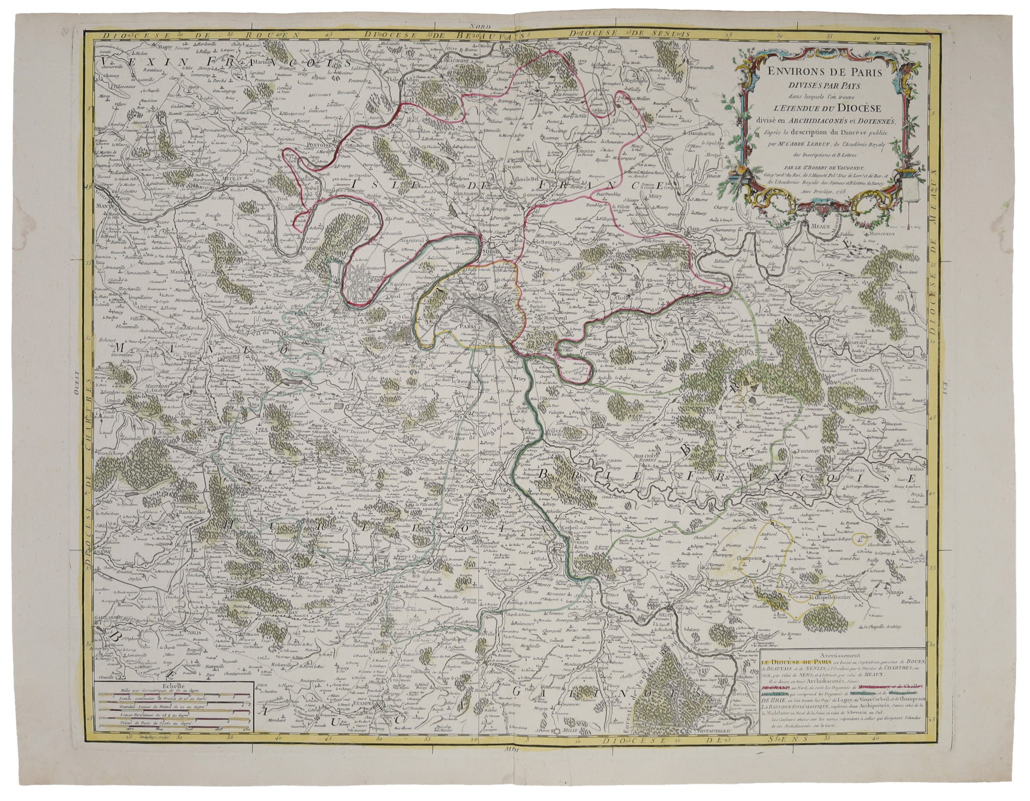
Copperplate, colored, paper, 52 x 68 cm; good condition.
In the cartouche Vaugondy identified as "cartographer of the king of Poland". The map covers lands to the west of Montfort, east to Farmonstier, north to Beaumont and south to Milly.










Viimeksi katsotut
Kirjaudu sisään nähdäksesi kohdeluettelon
Suosikit
Kirjaudu sisään nähdäksesi kohdeluettelon